The Nan Loop: Doi Phu Kha and Bo Kluea
- Nan
- Province
- 195 km
- Distance
- Full Day
- Riding time
- November - February
- Best season
- Intermediate
- Level
- Road
- Surface
Passes throughNanPuaDoi Phu KhaBo KlueaSanti Suk
Loading map…
Elevation
- 195 km
- Distance
- 2,918 m
- Total climb
- 1,645 m
- Highest point
- 204 m
- Lowest point
0 km, Nan98 km195 km, Nan
The ride
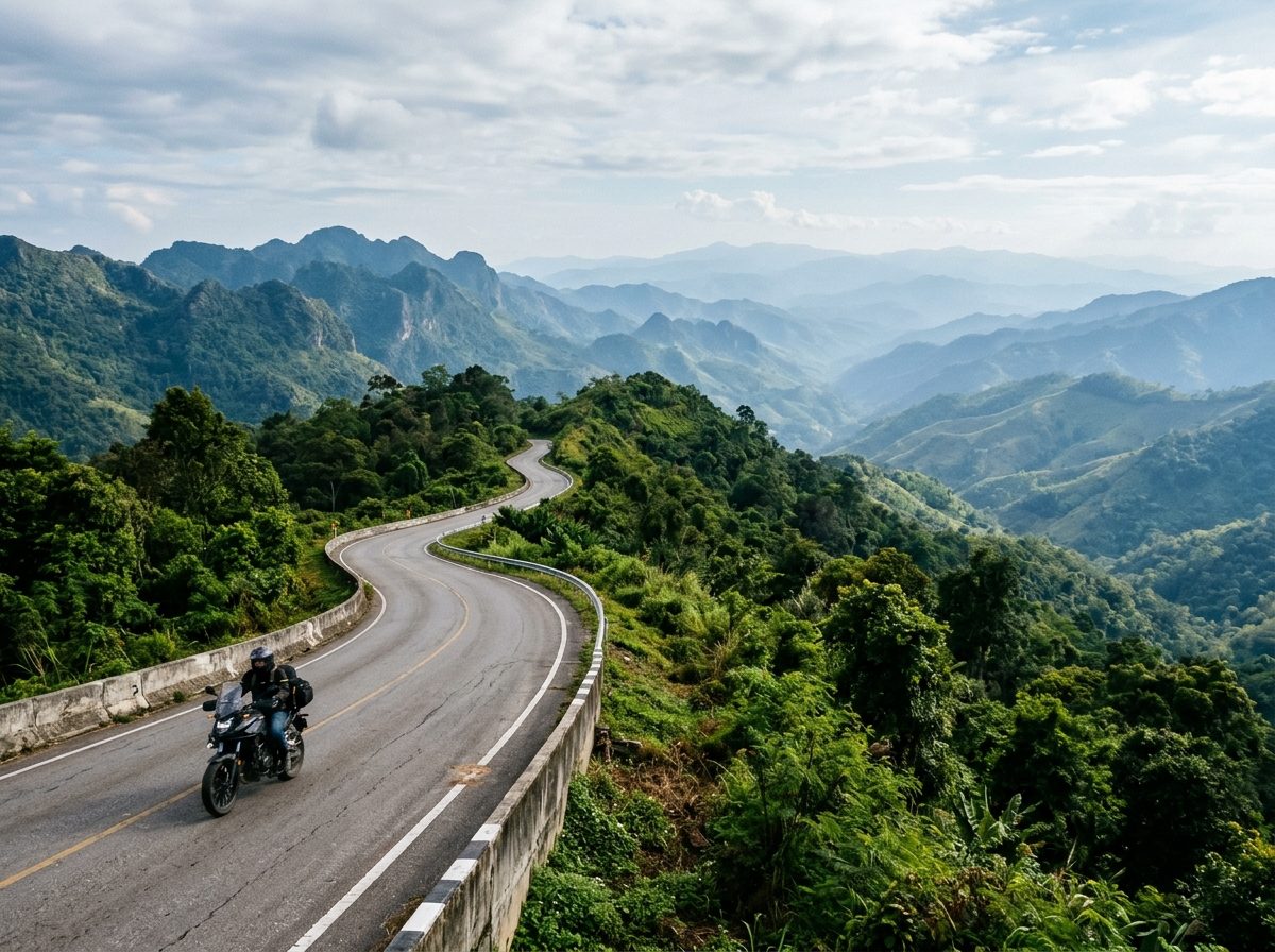
A full day in the mountains east of Nan. Ride north to Pua, then take Road 1256 up and over Doi Phu Kha National Park to the village of Bo Kluea, where salt has been boiled from mountain wells for centuries. Come home on Road 1081, the roller-coaster ridge road south through Santi Suk, with the number-3-shaped bend people stop to photograph. Quiet, cool and green all the way.
Before you go
This track was drawn from a map, not recorded on a ride. Check road conditions locally before you set out.
Photos
More rides nearby
- Distance
- 391 km
- Climb
- 4,260 m
- Level
- Intermediate
- Distance
- 171 km
- Climb
- 1,253 m
- Level
- Beginner
- Distance
- 158 km
- Climb
- 1,509 m
- Level
- Advanced
- Distance
- 161 km
- Climb
- 1,387 m
- Level
- Intermediate
In these riding guides
Nan