The Nan North Loop via Chiang Muan
- Nan
- Province
- 273 km
- Distance
- Full Day
- Riding time
- November - February
- Best season
- Intermediate
- Level
- Road
- Surface
Passes throughNanTha Wang PhaSong KhwaePongChiang MuanBan Luang
Loading map…
Elevation
- 273 km
- Distance
- 2,602 m
- Total climb
- 816 m
- Highest point
- 202 m
- Lowest point
0 km, Nan136 km273 km, Nan
The ride
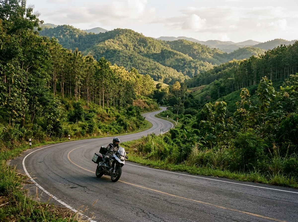
A long day on three of the best roads around Nan. Ride north to Tha Wang Pha and take Road 1148 west over the hills, then turn south on Road 1092 through Pong to Chiang Muan in Phayao province. Road 1091 brings you home through Ban Luang, climbing and curving all the way back to Nan. Riders on the forums call this combination the best roads they have ridden. It is about 280 km, so start early.
Before you go
This track was drawn from a map, not recorded on a ride. Check road conditions locally before you set out.
Photos
More rides nearby
- Distance
- 391 km
- Climb
- 4,260 m
- Level
- Intermediate
- Distance
- 161 km
- Climb
- 1,387 m
- Level
- Intermediate
- Distance
- 171 km
- Climb
- 1,253 m
- Level
- Beginner
- Distance
- 158 km
- Climb
- 1,509 m
- Level
- Advanced
In these riding guides
Nan