Chiang Dao, Doi Ang Khang and Tha Ton
- Chiang Mai
- Province
- 223 km
- Distance
- Full Day
- Riding time
- November - February
- Best season
- Advanced
- Level
- Road
- Surface
Passes throughChiang MaiMae RimMae TaengChiang DaoChai PrakanDoi Ang KhangFangTha Ton
- Sights 3
- Coffee 3
Elevation
- 223 km
- Distance
- 2,405 m
- Total climb
- 1,798 m
- Highest point
- 317 m
- Lowest point
The ride
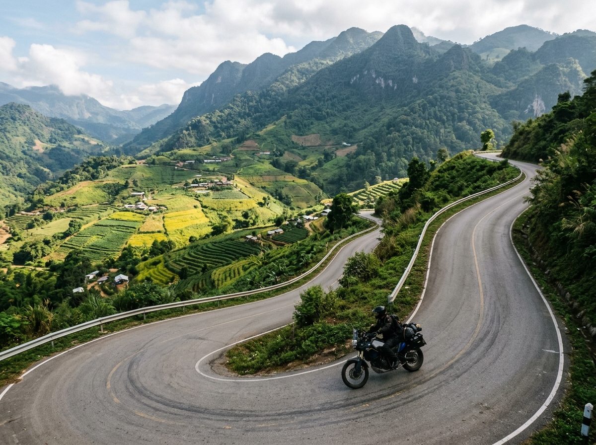
North from Chiang Mai past the limestone bulk of Doi Chiang Dao, then up to the royal agricultural station at Doi Ang Khang, right on the Myanmar border. The roads up and down the mountain are steep and narrow with tight hairpins, so this one is for confident riders. Come down to Fang and finish in Tha Ton on the Kok River, a good place to stay the night before riding on to Chiang Rai.
Before you go
This track was drawn from a map, not recorded on a ride. Check road conditions locally before you set out.
Along the way
6 places we'd pull over for within 2 km of this route. They are marked on the map above; the distance is how far into the ride each one comes.
Sights3
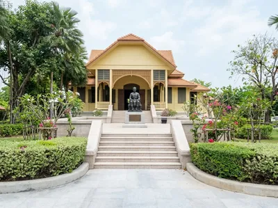
Darapirom Palace Museum
Mae Rim, 14 km in
The teak residence of Princess Dara Rasmi, kept as a museum with her rooms and belongings much as they were. Signed a short way east of the highway at Mae Rim.
Open in Google Maps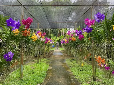
Bai Orchid and Butterfly Farm
Mae Rim, 16 km in
Rows of vanda orchids hanging under shade netting with a butterfly house alongside, on the Mae Rim tourist strip. A short, easy stop between the bigger attractions.
Open in Google Maps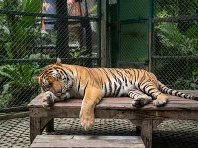
Tiger Kingdom
Mae Rim, 16 km in
The tiger attraction on the Mae Rim road, where visitors are taken into the enclosures with the animals. The restaurant serves a tasty Thai lunch, and you can watch the tigers from there if you're not sure about going into the cages.
Open in Google Maps
Coffee3
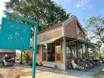
Rab-a-bit
Mae Rim, 18 km in
Brick, glass and a turquoise sign on the Mae Rim road, with bikes usually lined up outside. A tidy first or last coffee if you are riding out of Chiang Mai to the north.
Open in Google Maps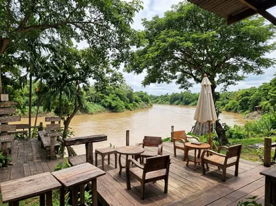
Elely Cafe
Mae Rim, 32 km in
Chairs on a deck right above the brown water of the Mae Taeng river, a short way off the main road north. Their two elderly elephants wander down to the river periodically, and the cafe has some personable dogs.
Open in Google Maps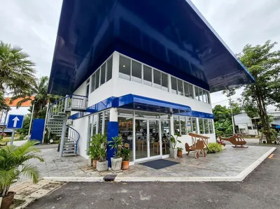
Air Diamond Cafe
Mae Rim, 33 km in
A Black Canyon coffee shop inside an old Airbus A330 parked just off the road north through Mae Taeng, with an airport-terminal check-in out front. A gimmick and definitely overpriced, but memorable.
Open in Google Maps
Photos
More rides nearby
- Distance
- 131 km
- Climb
- 1,555 m
- Level
- Intermediate
- Distance
- 199 km
- Climb
- 3,486 m
- Level
- Beginner
- Distance
- 100 km
- Climb
- 1,490 m
- Level
- Beginner
- Distance
- 340 km
- Climb
- 6,298 m
- Level
- Intermediate
In these riding guides
Chiang Mai