The Lampang and Chae Son Loop
- Lampang
- Province
- 159 km
- Distance
- Full Day
- Riding time
- November - February
- Best season
- Beginner
- Level
- Road
- Surface
Passes throughLampangMueang PanChae SonChae Hom
Loading map…
Elevation
- 159 km
- Distance
- 810 m
- Total climb
- 592 m
- Highest point
- 236 m
- Lowest point
0 km, Lampang80 km159 km, Lampang
The ride
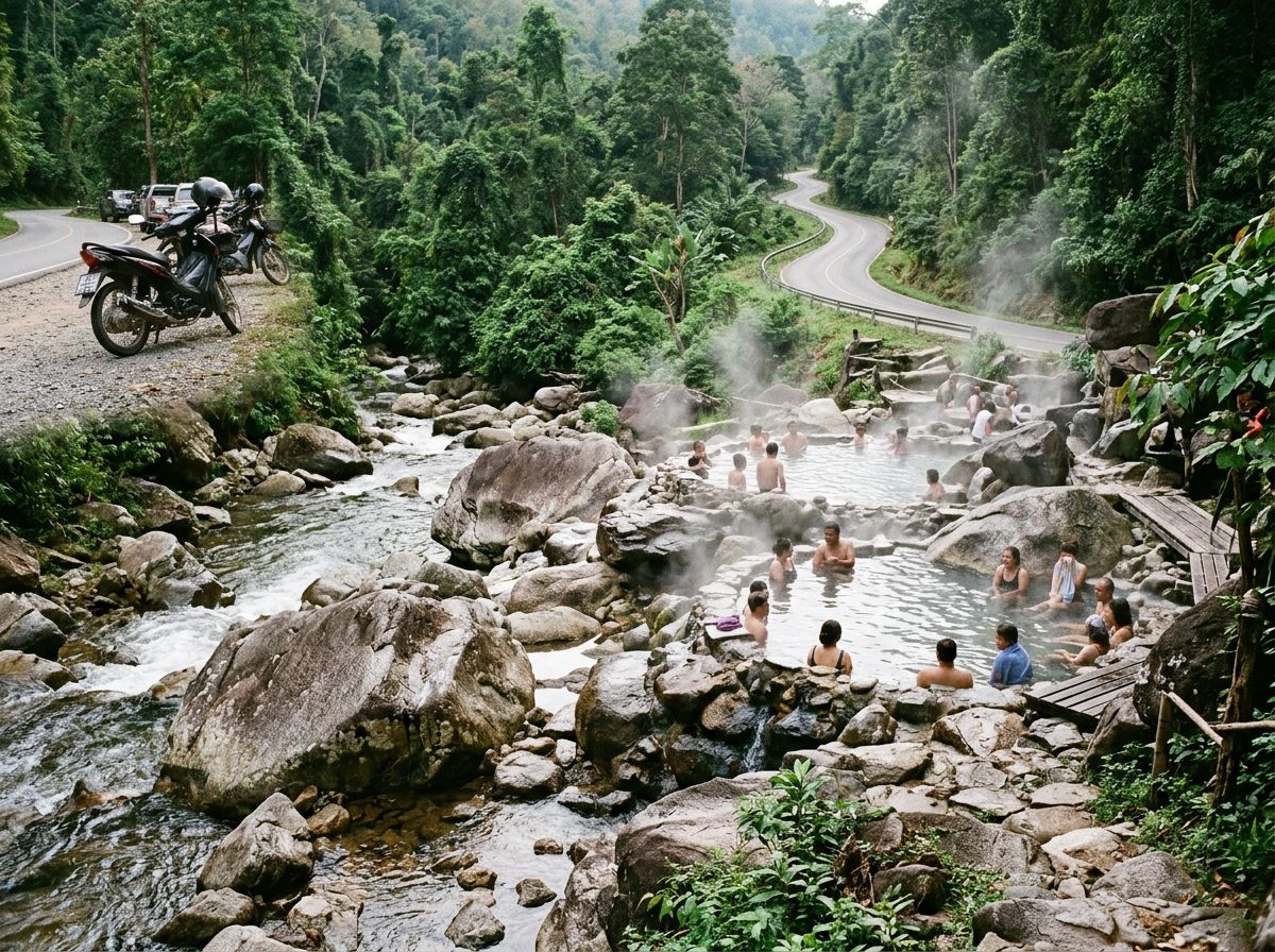
A gentle loop north of Lampang. Road 1157 runs up a quiet valley to Mueang Pan and on to Chae Son National Park, where the hot springs sit beside a cold river and a waterfall drops through the forest behind. Cross to Chae Hom on Road 1287 and come back down Road 1035. Riders describe the roads here as empty and well surfaced, though leaves make the forest sections slippery after rain.
Before you go
This track was drawn from a map, not recorded on a ride. Check road conditions locally before you set out.
Photos
More rides nearby
In these riding guides
Lampang