Chiang Rai to Lampang past Phayao Lake
- Chiang Rai to Lampang
- From and to
- 266 km
- Distance
- Full Day
- Riding time
- November - February
- Best season
- Beginner
- Level
- Road
- Surface
Passes throughChiang RaiPhanMae ChaiPhayao LakeWang NueaChae HomLampang
Loading map…
Elevation
- 266 km
- Distance
- 1,063 m
- Total climb
- 927 m
- Highest point
- 237 m
- Lowest point
0 km, Chiang Rai133 km266 km, Lampang
The ride
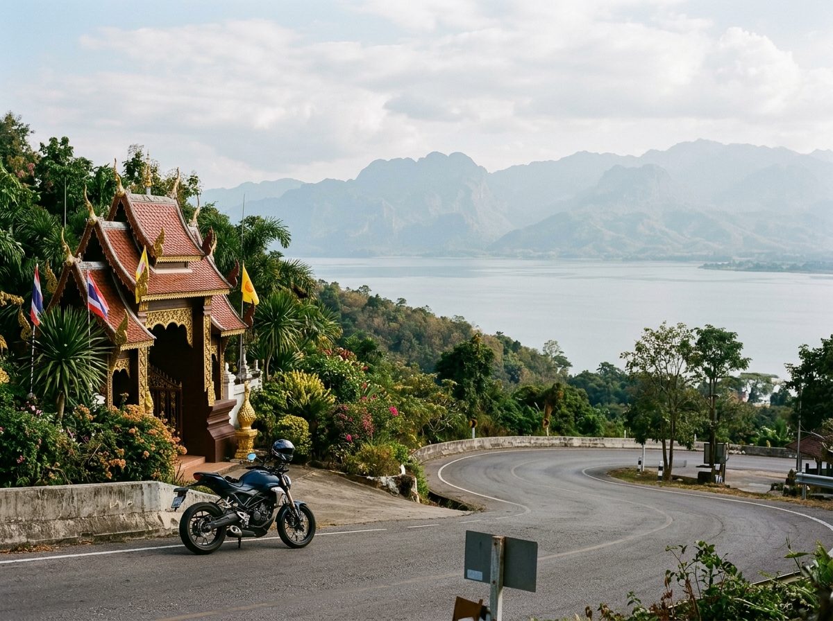
A relaxed way between Chiang Rai and Lampang that leaves the highway where it can. Ride south to Mae Chai, then take Road 1193 around the west side of Phayao Lake to the hilltop temple complex of Wat Analayo, with its view over the water. Road 120 carries on west to Wang Nuea, where Road 1035 turns south and follows a quiet valley through Chae Hom all the way to Lampang.
Before you go
This track was drawn from a map, not recorded on a ride. Check road conditions locally before you set out.
Photos
More rides nearby
- Distance
- 159 km
- Climb
- 810 m
- Level
- Beginner
- Distance
- 391 km
- Climb
- 4,260 m
- Level
- Intermediate
- Distance
- 150 km
- Climb
- 1,588 m
- Level
- Intermediate
- Distance
- 150 km
- Climb
- 2,938 m
- Level
- Intermediate
In these riding guides
Chiang RaiLampang