Mae Salong, Doi Tung and Mae Sai
- Chiang Rai
- Province
- 150 km
- Distance
- Full Day
- Riding time
- November - February
- Best season
- Intermediate
- Level
- Road
- Surface
Passes throughChiang RaiMae ChanMae SalongDoi TungPha HiMae Sai
Loading map…
Elevation
- 150 km
- Distance
- 2,938 m
- Total climb
- 1,464 m
- Highest point
- 390 m
- Lowest point
0 km, Chiang Rai75 km150 km, Chiang Rai
The ride
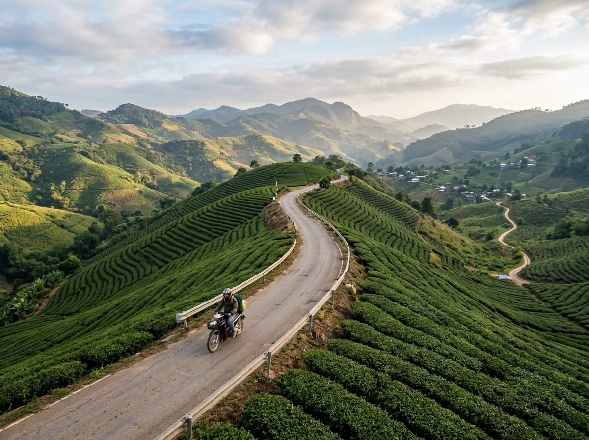
A border-country day from Chiang Rai. Climb to the tea plantations of Doi Mae Salong, a town settled by Chinese Nationalist soldiers, then cross to Doi Tung for the royal villa and gardens. From there Road 1149 runs along the ridge that marks the Myanmar border, past army checkpoints and the coffee village of Pha Hi, before dropping to Mae Sai, the northernmost town in Thailand. Carry your passport for the checkpoints.
Before you go
This track was drawn from a map, not recorded on a ride. Check road conditions locally before you set out.
Photos
More rides nearby
- Distance
- 225 km
- Climb
- 1,629 m
- Level
- Beginner
- Distance
- 221 km
- Climb
- 732 m
- Level
- Beginner
- Distance
- 340 km
- Climb
- 6,298 m
- Level
- Intermediate
- Distance
- 266 km
- Climb
- 1,063 m
- Level
- Beginner
In these riding guides
Chiang Rai