The Doi Chang Coffee Loop
- Chiang Rai
- Province
- 118 km
- Distance
- Full Day
- Riding time
- November - February
- Best season
- Advanced
- Level
- Road
- Surface
Passes throughChiang RaiMae LaoDoi ChangMae Suai
Loading map…
Elevation
- 118 km
- Distance
- 1,296 m
- Total climb
- 1,516 m
- Highest point
- 397 m
- Lowest point
0 km, Chiang Rai59 km118 km, Chiang Rai
The ride
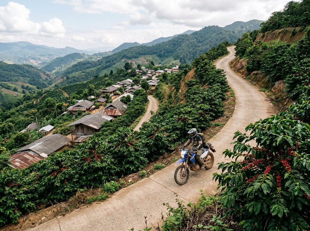
A day in the coffee hills west of Chiang Rai. Ride out past Singha Park and climb to Doi Chang, an Akha village above 1,500 m that grows some of the best-known coffee in Thailand; stop at one of the farms for a cup. The climb is very steep in places and riders report a shallow water crossing on the way up, so this is one for confident riders on a bike with some ground clearance. Descend to Mae Suai and return on Road 118.
Before you go
This track was drawn from a map, not recorded on a ride. Check road conditions locally before you set out.
Photos
More rides nearby
- Distance
- 340 km
- Climb
- 6,298 m
- Level
- Intermediate
- Distance
- 266 km
- Climb
- 1,063 m
- Level
- Beginner
- Distance
- 150 km
- Climb
- 2,938 m
- Level
- Intermediate
- Distance
- 231 km
- Climb
- 2,338 m
- Level
- Intermediate
In these riding guides
Chiang Rai